

Structural assessment has long carried logistical burdens that aerial technology is steadily dismantling. Scaffolding, rope access crews, lane closures, and extended site shutdowns were once unavoidable components of inspection programs across most asset categories. Drone Inspection Service Miami, FL, applies precision imaging and sensor-based data collection to structures where those conventional methods add cost, time, and access complexity without necessarily improving what assessors can see. Five structural categories stand out as areas where aerial inspection has changed the assessment process most fundamentally.
- Roofs and facades
Rooftops and multi-story facades share a common inspection challenge; large surfaces require slower manual coverage, and getting to critical sections often requires equipment that introduces scheduling and safety issues. A single aerial flight covers the full envelope in a fraction of that time. It captures membrane condition, drainage performance, coping detail, and cladding integrity at resolution levels that support confident condition assessments. Thermal imaging running alongside standard visual capture identifies moisture intrusion and insulation breakdown at points that surface observation would pass over entirely. Facade work on tall structures gains further from this approach because the aerial platform reaches elevations that suspended access systems take considerable setup time to achieve.
- Bridge structures assessed
Few structural categories present the difficulty of access that bridges do. Deck soffits, pier caps, bearing assemblies, and beam undersides sit at positions that inspection vehicles and rope access teams reach only after significant preparation. Aerial platforms carrying high-resolution cameras and LiDAR sensors collect condition data from those positions within a coordinated flight sequence that a ground-based program would stretch across multiple mobilizations. What a single bridge inspection flight covers:
- Full deck surface condition, including joint integrity across the span
- Soffit cracking, spalling, and reinforcement exposure along beam sections
- Pier and abutment face condition from the waterline to the bearing elevation
- Parapet and railing condition along both edges of the travel surface
- Tower and mast
Transmission masts, communication towers, and antenna structures increase inspection difficulty at height. Manual climber programs produce condition data, but the hazard exposure involved and the time required to reach upper sections make them operationally demanding for routine assessment cycles. Aerial platforms capture close-range imagery of connection hardware, weld condition, corrosion development, and structural member integrity at every elevation without putting personnel on the structure for most standard assessment scopes. Multiple flight angles around the same structure produce a condition picture that no single ground vantage point can replicate. For structures above certain heights, the aerial method delivers more comprehensive coverage than the manual alternative.
- Industrial asset surveys
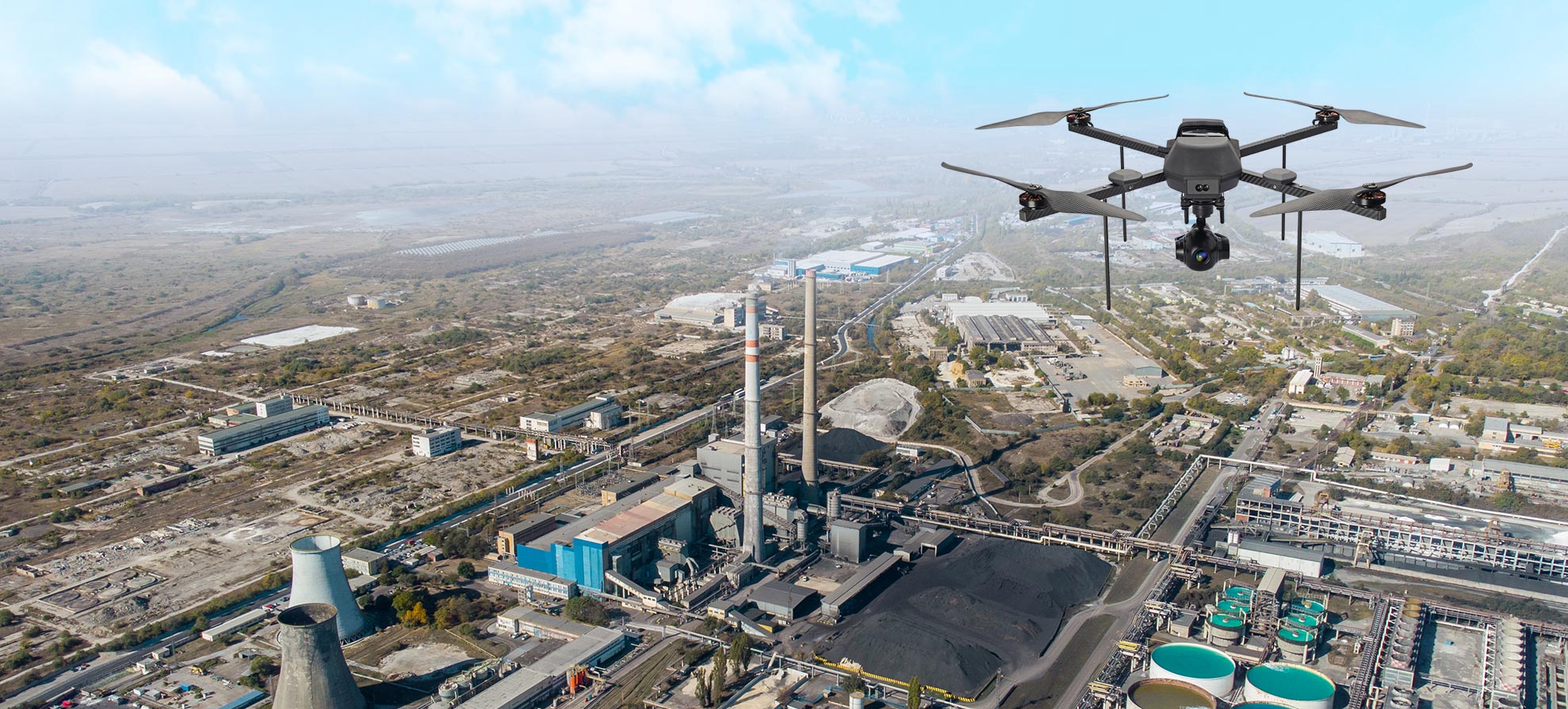
A processing plant, refinery, storage facility, or pipeline may hold assets, stacks, tanks, or pipelines. These assets accumulate surface degradation and thermal anomalies between inspection cycles. To provide safe access to these assets, conventional programs often interrupt operations. Aerial surveys conducted during active facility operations collect surface condition data, identify corrosion patterns, and flag thermal irregularities across multiple assets within a single mobilization. That ability to gather assessment data without halting production separates aerial inspection from most alternatives in this environment.
- Retaining wall evaluation
A retaining wall will develop cracks, drainage failures, and displacement over time. Observations from ground level cover accessible face sections adequately, but lose accuracy in higher zones. Aerial imaging captures the full wall face from consistent angles across the entire run. This produces a condition record detailed enough to support cycle-to-cycle comparison and identify developing issues at a stage where intervention options are still straightforward.
Aerial inspection has expanded the scope of what structural assessors can observe. It has compressed the time required to observe it and produced data sets that support better-informed decisions across every asset category it covers.
